Aerial Mapping & Imagery
M500 Drone

  • 25 minute flight time
  • 20mp camera, 3 axis gimble
  • Optional multispectral camera
M500 Aerial Surveying & Mapping Drone

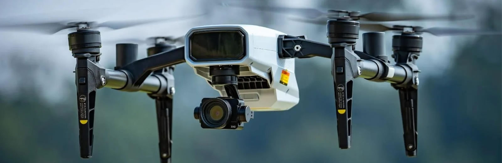
The M500 with our RTK GPS base staion gives us high defintion imagery with centimeter accurate location data to ensure precise chemical application.

By taking advantage of third-party AI software, the M500 can help you gain insight into crop growth and identify abnormal plants. Decisions are made with science to enable variable- rate spraying and fertilization.

The M500 Remote Sensing Drone is designed for precision agriculture, with the capability to fly autonomously and capture high definition images with high-performance data processing - so you can better understand your farm to enable timely and effective actions.