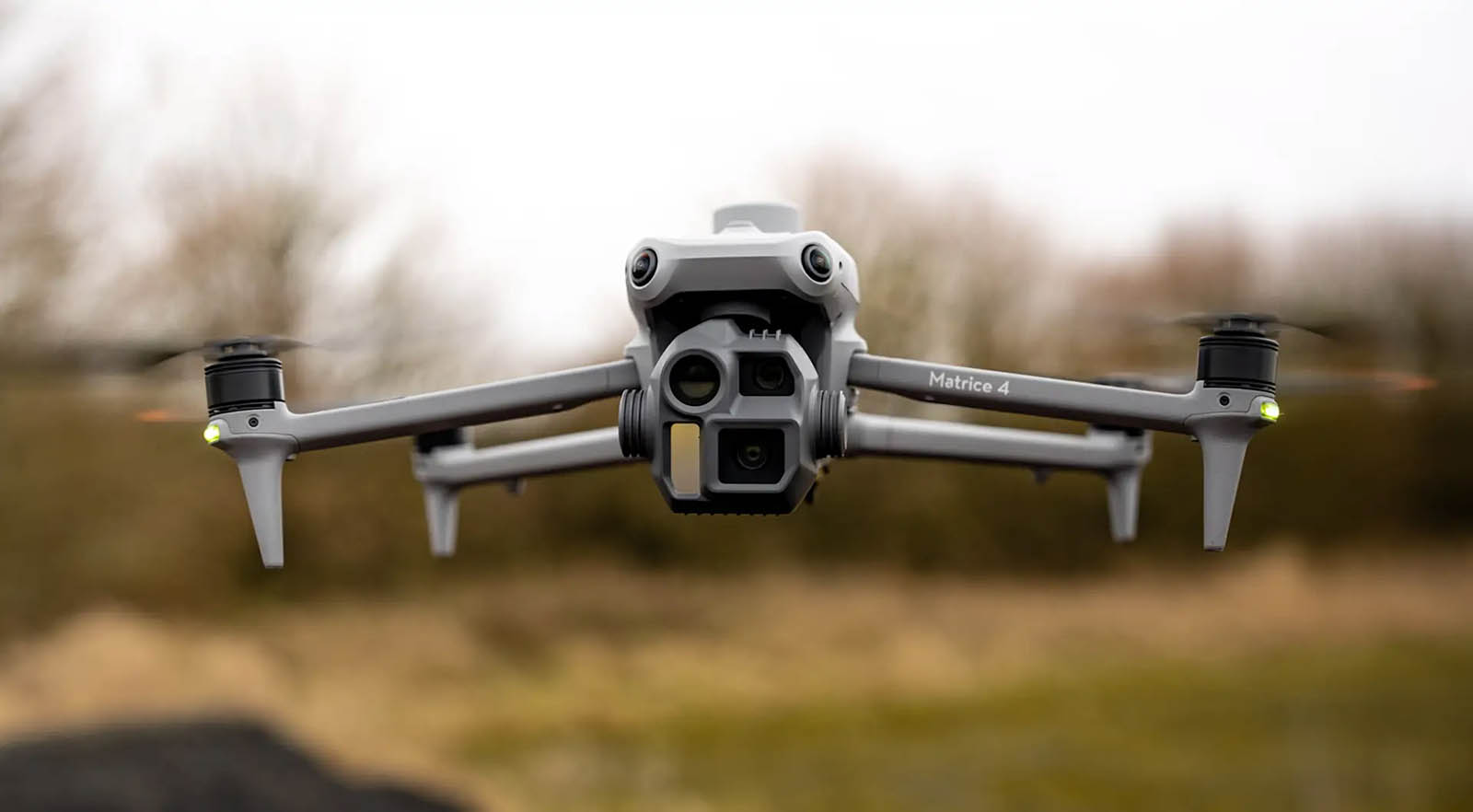
A new addition to our fleet, the DJI Matrice 4E delivers high-precision aerial mapping, detailed inspections, and accurate 3D modeling. Whether you're managing a farm, vineyard, construction site, or infrastructure project, the Matrice 4E enables faster, safer, and more cost-effective data collection.
 Aerial Mapping
We create high-resolution, geo-referenced maps of properties, paddocks, orchards, and construction zones using the Matrice 4E’s mechanical shutter camera and RTK precision.
 Inspections
The Matrice 4E allows safe and detailed visual inspections without the need for scaffolding, ladders, or expensive shutdowns.
 3D Modeling
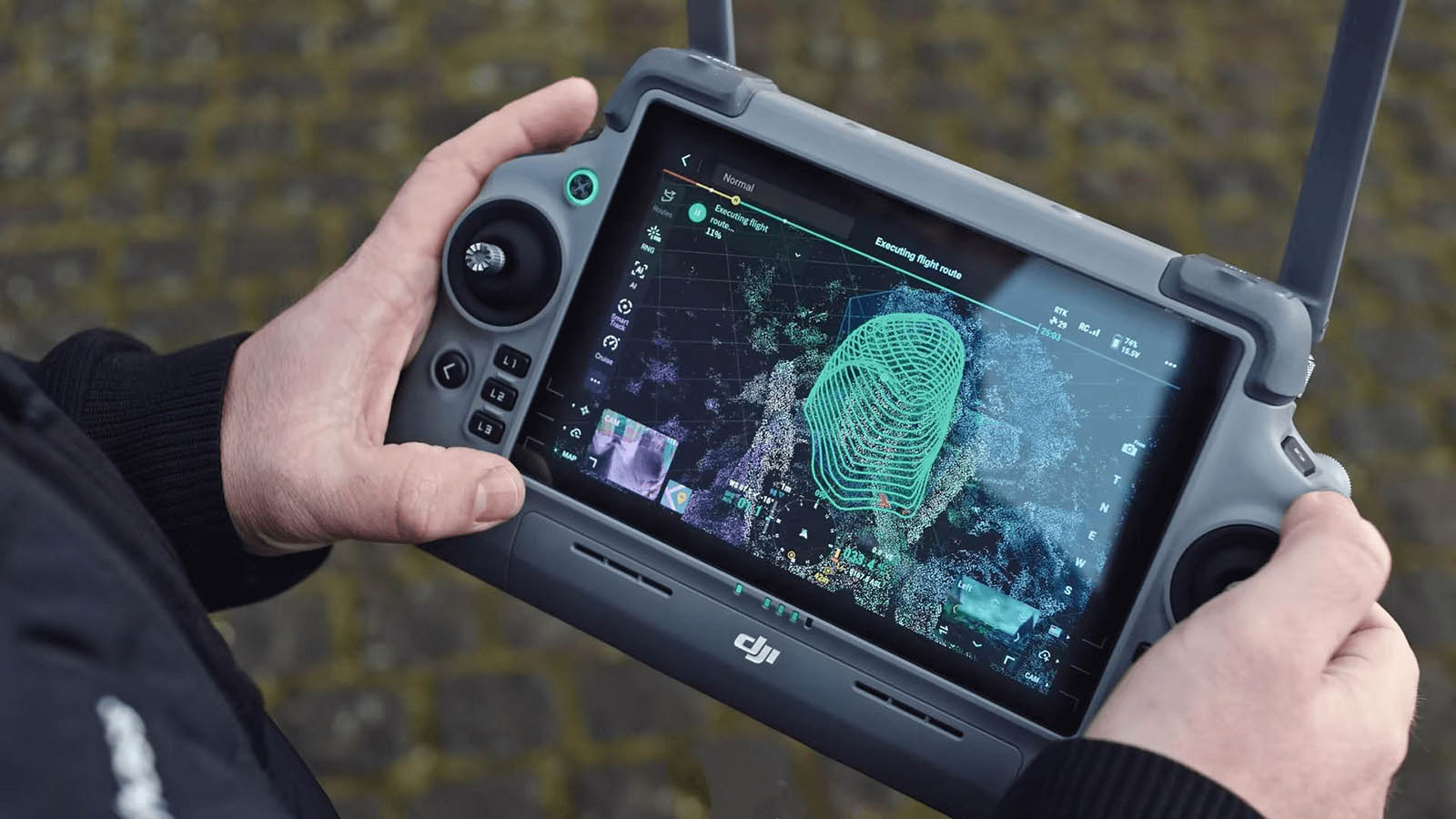
Using advanced photogrammetry, we turn aerial photos into detailed 3D digital models for use in planning, monitoring, and documentation.